Informazioni dettagliate
Nome del software
Nome localizzato
Suite di applicazioni
URL del repository
Organizzazione
Descrizione breve
Descrizione lunga
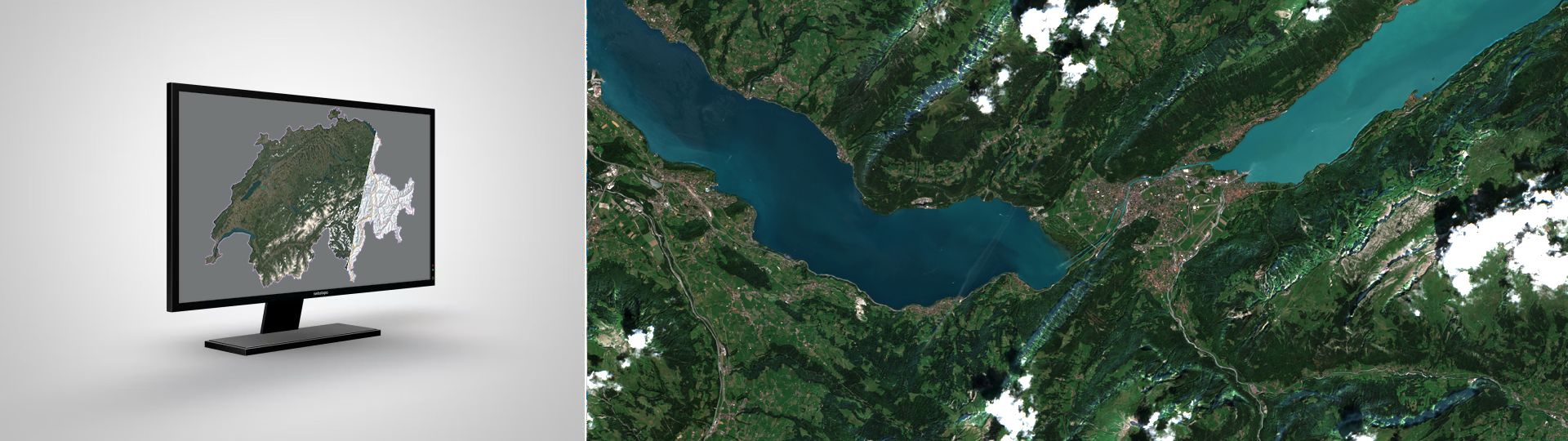
SATROMO (Satellite Data for Drought Monitoring – SAtellitendaten fürs TROckenheitsMOnitoring) is an automated geospatial data processing system that generates analysis-ready satellite products specifically designed for drought monitoring across Switzerland.
What SATROMO DoesSATROMO transforms raw satellite imagery into valuable environmental insights through a fully automated processing chain:
- Processes Sentinel-2 satellite data using Google Earth Engine's powerful cloud computing platform
- Generates multiple specialized products for vegetation health and drought assessment
- Publishes data daily to accessible platforms for researchers, policymakers, and the public
- Maintains a complete archive of historical data for trend analysis
SATROMO produces four primary product types that help monitor Switzerland's vegetation health and drought conditions:
Surface Reflectance
Description: Cloud-free, terrain-corrected satellite imagery
Update Frequency: Daily
Use Case: Base data for environmental analysisVegetation Health Index
Description: Comprehensive vegetation stress indicator
Update Frequency: Weekly
Use Case: Drought early warningNDVI Z-Score
Description: Statistical vegetation anomaly detection
Update Frequency: Bi-monthly
Use Case: Identifying unusual vegetation patternsNDVI Difference
Description: Vegetation change analysis
Update Frequency: Bi-monthly
Use Case: Monitoring vegetation dynamics
SATROMO operates as a serverless, automated system that runs without manual intervention:
- Data Collection (22:00 UTC daily): The system checks for new satellite data and initiates processing
- Smart Processing: Advanced algorithms remove clouds, correct for terrain shadows, and create seamless mosaics
- Quality Control: Automatic validation ensures only high-quality data reaches users
- Publication (03:00 UTC daily): Processed data is published to multiple platforms simultaneously
The system uses a sophisticated two-stage processing approach:
- Stage 1: Pre-processes raw satellite data with cloud masking and terrain correction
- Stage 2: Generates specialized indices and analysis products
All SATROMO products are freely available through:
- Swiss Federal Spatial Data Infrastructure (FSDI)
- AWS S3 Storage – Direct access for bulk downloads
- STAC Catalog – Standardized metadata for easy discovery and integration
- Early Warning: Provides timely information for drought preparedness
- Scientific Basis: Supports research on climate change impacts
- Decision Support: Helps agricultural and environmental authorities make informed decisions
- Open Data: Freely accessible to everyone who needs it
- National Coverage: Complete coverage of Switzerland with consistent quality
Funzionalità
- Automated Satellite Data Processing
- Drought Monitoring Products
- Regional Statistics and Reporting
- Official Data Publication
- Automated Updates and Monitoring
- Data Quality Assurance
- Preview and Visualization
Riconoscimenti
- Preis für gute Verwaltung 2025
Screenshot
Stato di sviluppo
Tipo di software
Data di rilascio
Piattaforme
Categorie
Utilizzato da
- Federal office of topography swisstopo
Licenza
Manutenzione
Localizzazione
No
en