Informazioni dettagliate
Nome del software
Nome localizzato
Suite di applicazioni
URL del repository
Organizzazione
Descrizione breve
Descrizione lunga
This plugin makes it easier to use the services provided by the Canton of Geneva’s Geographic Information System (SITG) in QGIS.
Features
- Pre-configuration of official SITG basemaps as vector tiles
- Pre-configuration of the vector.sitg.ge.ch, raster.sitg.ge.ch, and thematic.sitg.ge.ch geoservices
- Support for authenticated access to geoservices using a GINA/e-Demarches account
- Shortcuts to the SITG data portal and the SITG guide for using QGIS
Important
The use of SITG data is subject to conditions. The access level for each dataset is described on the SITG portal.
Warning
SITG services are based on proprietary solutions that are not yet fully compatible with QGIS and the open-source geospatial ecosystem.
Various performance and reliability issues are known, and using QGIS as a client to consume SITG geoservices should be considered experimental. The State of Geneva is actively contributing to improving QGIS compatibility and keeps users informed through its newsletter.
For critical work, we recommend using the downloadable datasets available through the SITG portal instead.
Documentazione API
Funzionalità
- Pre-configuration of official SITG basemaps as vector tiles
- Pre-configuration of the vector.sitg.ge.ch, raster.sitg.ge.ch, and thematic.sitg.ge.ch geoservices
- Support for authenticated access to geoservices using a GINA/e-Demarches account
- Shortcuts to the SITG data portal and the SITG guide for using QGIS
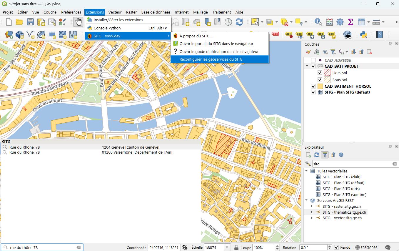
Screenshot
Stato di sviluppo
Tipo di software
Piattaforme
Licenza
Manutenzione
internal
- Olivier Dalang Email (Affiliazione: DIT)
Localizzazione
No
fr